
GIS & Mapping
Beginner to Intermediate
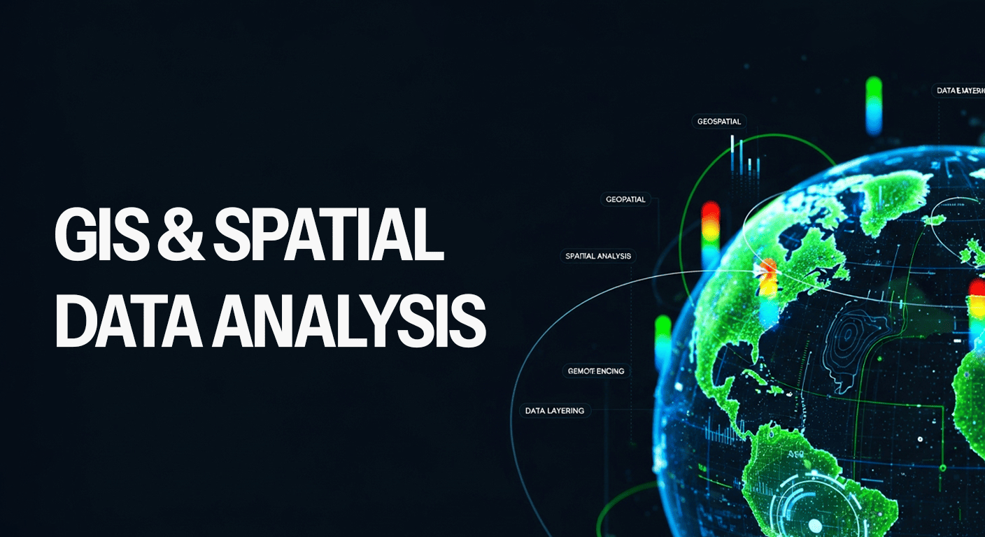
GIS & Spatial Data Analysis
10 weeks
Beginners students
4.8 rating
GIS Fundamentals
QGIS & ArcGIS
Spatial Data Collection
Map Design & Cartography
Remote Sensing Basics
Geospatial Analysis Techniques
Rs. 7,000Rs. 9,500
Hands-on projects using QGIS and real data
Case studies from Nepal’s urban and rural areas
Capstone project with expert feedback
Field data collection demo (Kobo/ODK)
Map styling, printing, and dashboard creation
Access to open GIS datasets and project templates

Sarita Adhikari
GIS Specialist & Remote Sensing Analyst
10+ years in spatial planning and environmental mapping experience
Course Curriculum
Introduction to GIS
1 week
- What is GIS and its Importance
- Types of Spatial Data: Vector vs Raster
- Coordinate Systems and Projections
- Applications of GIS in Nepal
GIS Tools: QGIS and ArcGIS
2 weeks
- Installing QGIS and Tool Overview
- Layers, Attributes, and Map Navigation
- Symbology and Styling Maps
- Intro to ArcGIS Online
Spatial Data Collection & Management
2 weeks
- Data Sources: OSM, DIVA, GADM
- GPS and Field Data Collection (KoboToolbox/ODK)
- Digitizing and Editing Layers
- Data Cleaning and Projection Handling
Geospatial Analysis Techniques
2 weeks
- Buffering and Clipping
- Spatial Joins and Intersect Analysis
- Thematic Mapping
- Case Study: Flood Risk Mapping
Remote Sensing Basics
2 weeks
- Satellite Imagery and Resolution
- NDVI and Land Use Change Detection
- Accessing Data from Sentinel and Landsat
- Raster Calculator and Classification
Capstone Project & Presentation
1 week
- GIS Project Planning
- Building a GIS Dashboard or Map Report
- Exporting Maps and Creating Layouts
- Presenting Findings and Decision Support